GPM, a leading provider of geophysical and exploration solutions, and Geotomo, a specialist in geophysical imaging and subsurface analysis, have announced a strategic technology alliance aimed at advancing innovative solutions in the geophysical for the Mexican energy sector.

This technology agreement will combine GPM expertise in exploration and project development with Geotomo cutting-edge geophysical imaging technologies, enhancing data accuracy and efficiency in subsurface robust analysis. The collaboration is expected to drive new developments in oil and gas exploration, hydrocarbon resource mapping, and development plans.
The agreement marks a significant step forward in geophysical technology, offering new opportunities for exploration companies in Mexico seeking reliable, robust and high-resolution subsurface deliverables. Both companies plan to collaborate on joint project execution, product integration, and training programs to further drive innovation in Mexico.
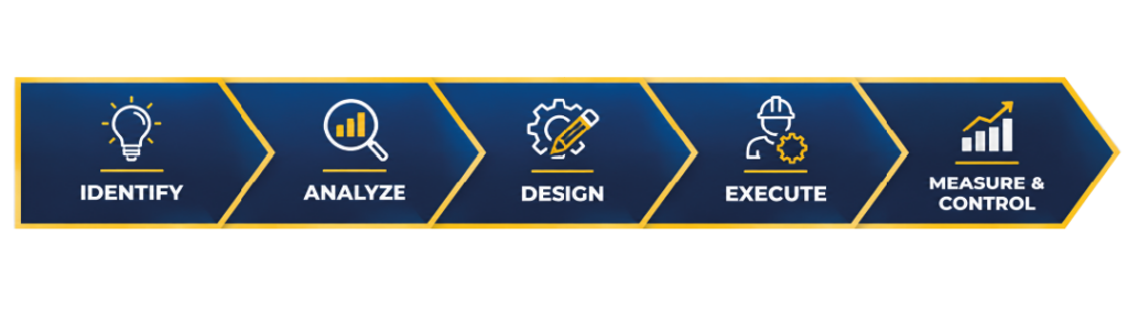
Our hydrocarbon field development plans begin with the integration and unification of reservoir properties through a comprehensive production analysis. This approach applies a specialized, non-sequential workflow that integrates the static geological model with dynamic reservoir properties, helping reduce uncertainty and mitigate risks associated with multiple interpretations. The integrated results provide the foundation for applying our reservoir management indicators, which support the optimization of exploration and production planning and enhance decision-making throughout the field development process.
The strength of our organization enables us to explore for and identify hydrocarbon resources across diverse geological and geographic environments, supported by advanced technologies and specialized technical resources.
We leverage our experience, capabilities, and in-depth understanding of global hydrocarbon systems to identify, evaluate, and prioritize high-quality opportunities based on customized field-development strategies.